Location intelligence platform
APIs your engineers ship with. Maps your business runs on.
Geocoding, routing, search, traffic, and SDKs, documented for developers, contracted for enterprises, supported by humans.
Simple APIs · Clear documentation · Production-ready performance
Trusted by industry leaders


Geocode
Lock coordinates to real-world addresses
Forward, reverse, and batch: keep search, operations, and analytics on one geocoding line.
- Geocoding Convert addresses to coordinates and vice versa with industry-leading accuracy.
- Search Powerful spatial search across geographic datasets.
- Suggestions Spatially aware type-ahead for addresses and POIs with typo tolerance and mobile-friendly latency.
DATA & SDKS
Your spatial data, styled and shipped in the browser
Host your layers, style them your way, and drop a real map into your app in a dozen lines. No tile server to run.
import mapquest from "@mapquest/sdk"; mapquest.key = "YOUR_API_KEY"; const map = mapquest.map("map", { center: [40.7128, -74.006], zoom: 12,}); // style + query your own layermap.addLayer(mapquest.dataLayer("stores", { color: "#16a34a", cluster: true,}));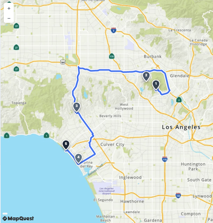
Data
Host and query your own layers with hosted storage and spatial indexes.
SDKs
JavaScript maps with routing, search, and geocoding built in.
Components
Drop-in location search and autocomplete UI, styled to match your app.
How teams use MapQuest
Same positioning as our industry pages, pick a segment to see how teams run routing, geocoding, and maps at operational scale.
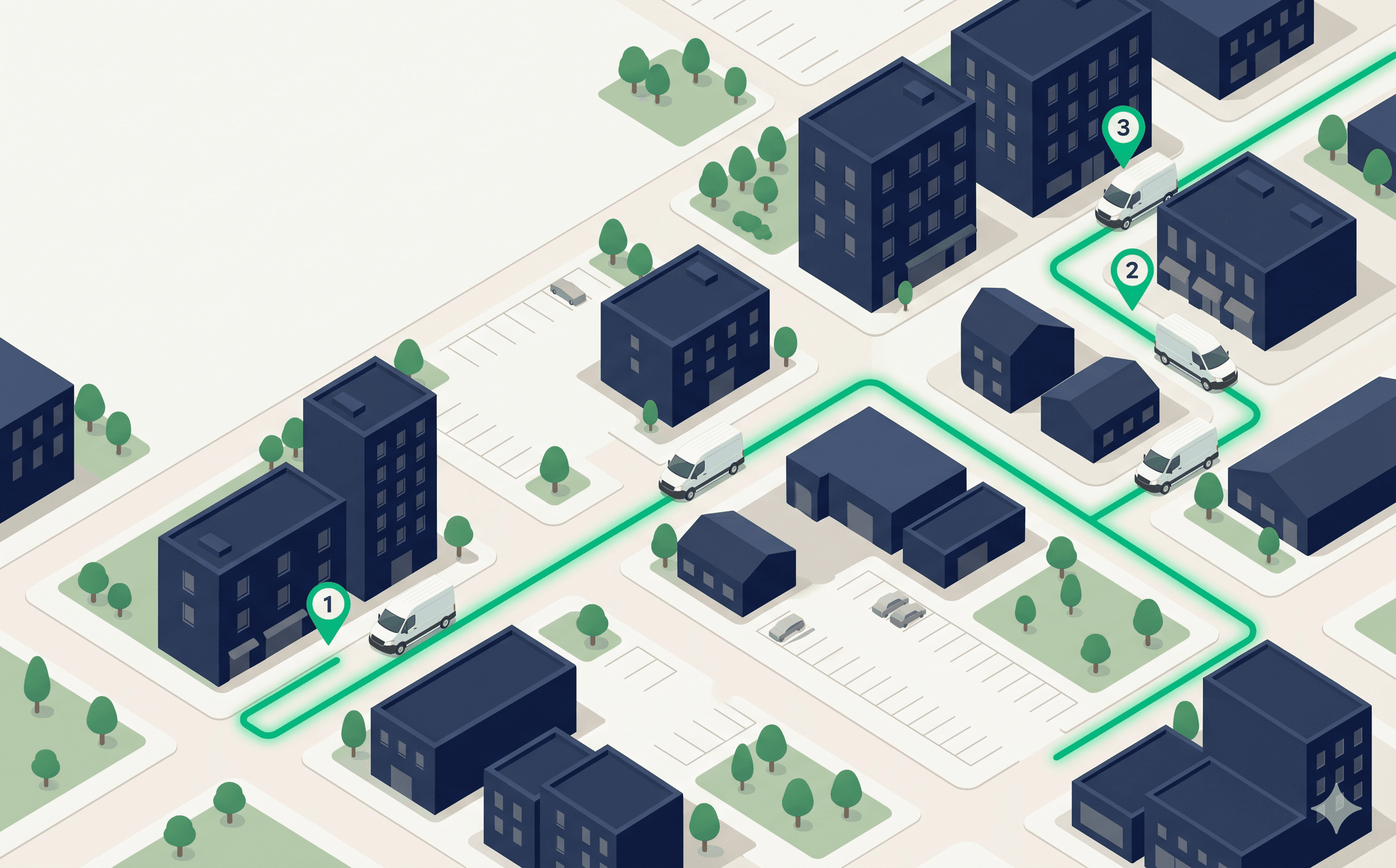
Fleet & logistics
Routing, ETAs, and dispatcher tools built for the volume your fleet actually runs.
Re-optimize mid-shift, validate addresses at intake, and keep ETAs honest as traffic moves.
Fleet management overviewWhat’s new
Latest platform updates, view more for detail, documentation, and how to engage sales.